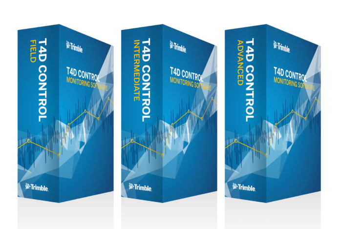
Trimble (NASDAQ: TRMB) introduced today the latest version of its software platform for real-time displacement monitoring—Trimble® 4D Control™ software (T4D). T4D version 6.0 introduces three- and 12-month subscriptions, and three-tiered edition options. These new subscription options give providers of monitoring services the flexibility to choose the appropriate subscription model based on the project duration. The new subscription levels reduce the upfront costs of real-time monitoring services for project stakeholders of critical transportation infrastructure, dams and mines, natural hazards and buildings surrounding construction sites. This update also makes T4D ideal for companies looking to control expenses via the operating-expense (OPEX) model on a recurring basis.
Three-Tier Edition Options
T4D 6.0 introduces three installation options, tailored to the various project requirements of specialized monitoring consultants, land surveyors, construction companies, dam and mining operators:
- T4D Field: Enables efficient total station setup, data processing and adjustment of optical measurements, including ability to output adjusted coordinates for the purpose of integration into a third-party system of record.
- T4D Intermediate: In addition to total station processing capability available in T4D Field, this edition allows for the integration of GNSS receiver data, data adjustment and storage. The Intermediate Edition is ideal for customers looking to leverage T4D for GNSS and optical data management and for those using third-party visualization and project management tools.
- T4D Advanced: This edition includes the feature sets of both T4D Field and Intermediate Editions, offering the full range of the T4D platform capability, including GNSS, total station and geotechnical sensor management, and data storage, as well as a front-end web interface for project management including data visualization, reporting and alarming.
Additional Software Enhancements
The latest version of T4D enhances geotechnical gateway sensor data integration by adding support for a variety of Senceive sensors, as well as introducing a workflow for streaming data coming from Worldsensing devices that are connected to a local network. This further streamlines the integration of geotechnical data in monitoring projects, increasing the level of confidence in final deliverables. Integration with the Settop M1 monitoring controller, which enhances the operation of a Trimble total station, has been improved by adding diagnostic tools to allow remote system troubleshooting and minimize monitoring project downtime.
“Site safety is at the forefront of our minds in the development of Trimble 4D Control, as well as making this solution scalable to address our customers’ specific project needs,” said Boris Skopljak, marketing director for Trimble’s Geospatial Monitoring business. “Offering a tiered subscription model and sophisticated geotechnical sensor integration will make setting up and operating a real-time monitoring system more accessible to a wider number of survey and construction organizations that are looking to add monitoring to their portfolio.”
Availability
Trimble 4D Control version 6.0 is available now through Trimble’s Geospatial Distribution Channel. To learn more about pricing and how 4D Control can benefit projects, contact a local distributor or visit Trimble’s new monitoring website: monitoring.trimble.com/contact.
About Trimble Geospatial
Trimble Geospatial provides solutions that facilitate high-quality, productive workflows and information exchange, driving value for a global and diverse customer base of surveyors, engineering and GIS service companies, governments, utilities and transportation authorities. Trimble’s innovative technologies include integrated sensors, field applications, real-time communications and office software for processing, modeling and data analytics. Using Trimble solutions, organizations can capture the most accurate spatial data and transform it into intelligence to deliver increased productivity and improved decision-making. Whether enabling more efficient use of natural resources or enhancing the performance and lifecycle of civil infrastructure, timely and reliable geospatial information is at the core of Trimble’s solutions to transform the way work is done. For more information, visit: geospatial.trimble.com.
About Trimble
Trimble is transforming the way the world works by delivering products and services that connect the physical and digital worlds. Core technologies in positioning, modeling, connectivity and data analytics enable customers to improve productivity, quality, safety and sustainability. From purpose built products to enterprise lifecycle solutions, Trimble software, hardware and services are transforming industries such as agriculture, construction, geospatial and transportation. For more information about Trimble (NASDAQ:TRMB), visit: www.trimble.com.
Source: Press release Trimble


