This narrative highlights the elegance of simplicity, where technological progress is flawlessly incorporated into the device and reflected outwardly through a simplified interface. Even those with fundamental surveying abilities can use the system to chart intricate surroundings and provide expert data. Dr. Aleksandra Kruss, a scientific and hydrographic training specialist at NORBIT, shares her insights on instructing users to enhance their survey efficiency and produce data of IHO standard.
The future is being made today
Throughout most of human history, the only way to capture a moment or a location was through paintings. This changed dramatically nearly two centuries ago with the advent of photography. Initially, the process of capturing images was a complex task, undertaken by highly skilled individuals using bulky cameras, and the development of the image could take hours. Today, high-resolution cameras are a common feature in everyone’s smartphones. For those in the hydrography field, the task at hand is to bring this advancement to underwater acoustic systems for detailed seabed mapping. Although acoustic transducers must adhere to certain size limitations to accommodate specific signal frequencies, the ongoing revolution is focused on finding more efficient solutions that offer superior performance, lighter weight, smaller size, and most importantly, simpler operation.
Imagine a coastal city with ports, canals, and hydro-technical structures like Gdansk, a historic Polish city on the Baltic Sea. Numerous organizations are tasked with underwater mapping, upkeep, and ensuring the safety of waterways. These entities are increasingly needing to undertake smaller hydrographic projects with tighter budgets, yet these tasks still demand high-quality control. This is particularly true when mapping a local marina, a small dock, or perhaps a very shallow canal, which must be approved by the hydrographic office. This makes the task significantly more complex to carry out and oversee.
Professional instrument should be simple to use
A modern, high resolution multibeam device together with a compact laser scanning device, like the combination of the NORBIT WINGHEAD with iLiDAR, will provide an accurate measurement system; which is effective for both large-scale surveys from big vessels and for shallow water surveys on small platforms. This way we can have flexible approach. Which is important in coastal areas, where a company one day will need to map a wide, open sea area and the next day needs to transfer all the equipment on a rib for river or harbour survey. It is greatly appreciated if the system is also easy to operate, as there may be people with different skills and knowledge available to operate the system, and data quality has to be up to hydrographic standard.
The WINGHEAD is a part of NORBIT curved array, bathymetric integrated systems family with 1024 true beams (0.5°x0.9°, at 400kHz), high-end navigation system and a very compact deck unit with small power consumption. It is light weight and fully portable in a Pelican Case. But what is its biggest beauty? The systems inner complexities are demonstrated via user-friendly interfaces that make life of the operator trouble-free.
The Survey
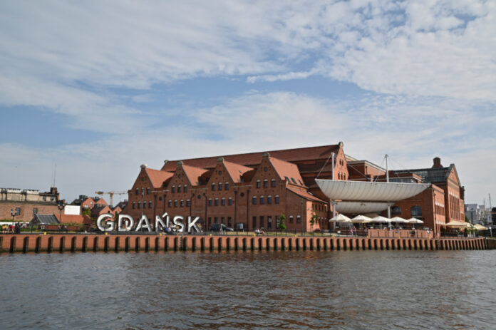
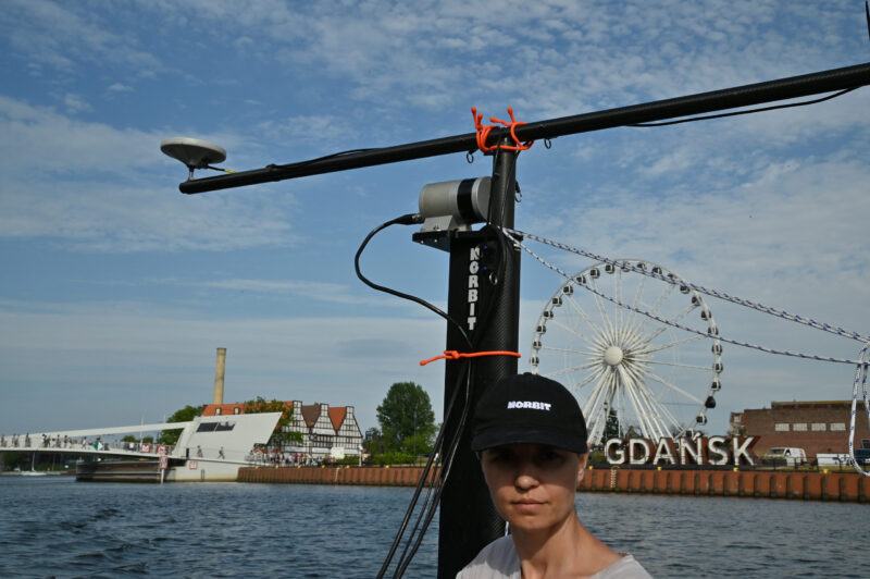
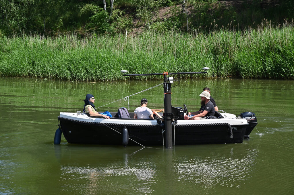
The equipment, including the system and a lightweight carbon fiber pole known as the Portus Pole specifically designed for NORBIT multibeam sonars, was shipped to Gdansk. I landed in the city’s historic district in June, equipped with the aforementioned gear. I rented a small sightseeing boat typically used for family trips along the Motlawa river and started instructing my local company associates on data collection using WINGHEAD and iLIDAR. Following this, we embarked on our remarkable exploration around the historic site.
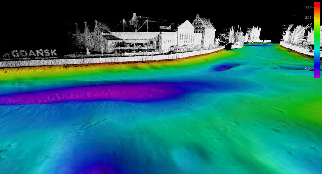
The whole system was powered with 24V from the battery together with a laptop using acquisition software and sharing bathymetric data via WIFI network. Additionally, a tablet using NORBIT DCT Data Acquisitioning software was used to support navigation of the boat. DCT is a web browser-based application that allows collection of data and control of survey progress. The data was recorded in broadly used s7k format and was later processed in QPS QIMERA software. We also recorded scanner data from land and bathymetry simultaneously, in order to have a full picture of Gdansk old town, Wisloujscie Fortress, and surrounding harbour areas.
NORBIT GUI takes a user step by step through setup and alignment procedure with only one offset to measure, so it was very easy and quick to teach surveyors the new equipment. Most of the GUI parameters can be left as default and provide precise bathymetry even for an inexperienced operator.
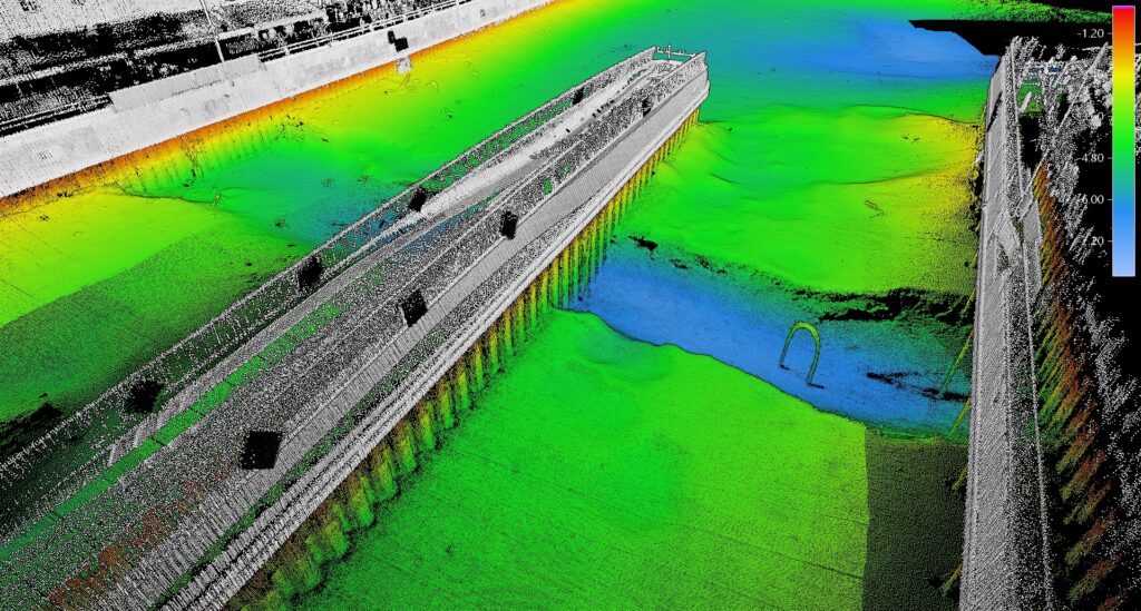
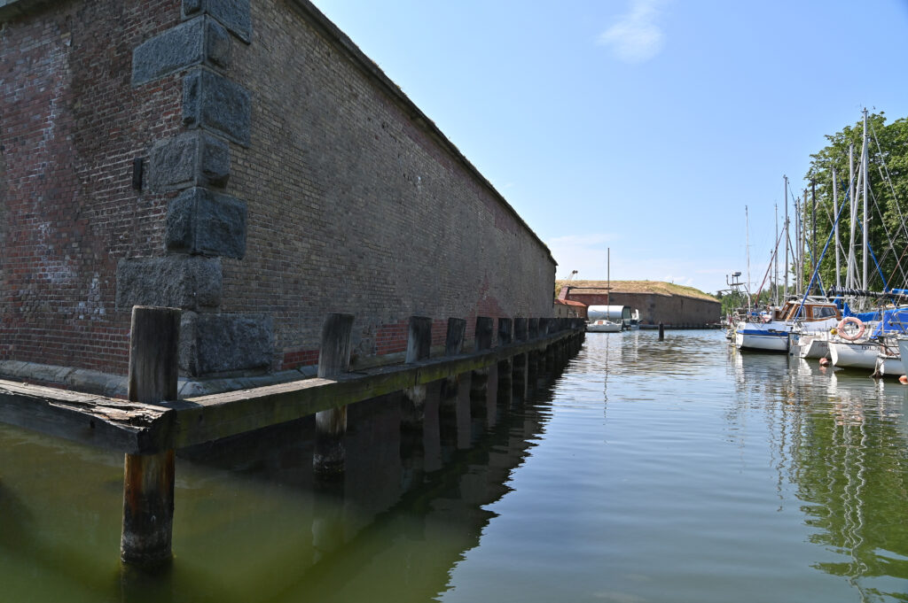
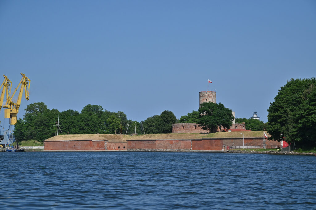
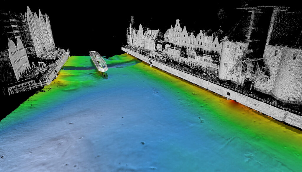
Due to the curved array and directional swath, the whole embankment was mapped from the bottom to the surface, connecting the point cloud with iLiDAR data without the need to physically tilt the sonar. The new drawbridge to Olowianka Island and swing bridge were imaged as well with their underwater structures. The next task involved navigating towards the Wisloujscie Fortress and surveying its shallow surrounding moat. This fortress, the oldest marine military structure in Poland, once protected Gdansk’s harbor and is now a heritage site. Despite the water depths of about 1-2m, we managed to map the channels, fortress walls, and other details. In a single day, we mapped Gdansk’s old town waterfront, part of the harbor, and the Wisloujscie heritage site.
SUMMARY
NORBIT’s approach is to provide multibeam systems that significantly cut down survey operation time, generate high-resolution bathymetry that surpasses IHO Special Order standards, and incorporate land survey when needed. Its compact size and user-friendly operation make it adaptable to any platform. A standout feature is its straightforward interface that doesn’t compromise functionality. The NORBIT WINGHEAD multibeam sonar can be utilized with any acquisition software or come with the user-friendly surveying application – DCT.


