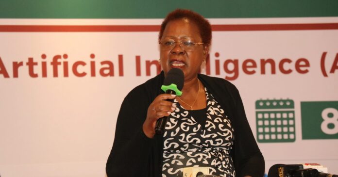
The Ministry of Lands, Housing and Urban Development is keen to using Artificial Intelligence (AI) and Machine Learning (ML) to improve how they study land use and classify land cover. Cabinet Secretary (CS) Alice Wahome shared this during the Pre-AGM conference of the Institution of Surveyors of Kenya (ISK) in Mombasa. The two-day conference under the theme: “Harnessing Artificial Intelligence (AI) for an Environmental, Social, and Governance (ESG) compliant Surveying” brings together Land and Built Sector Professionals from the public, private sector and academia. CS Wahome mentioned that with more people and cities growing, land and water are getting stressed. Using AI and ML can help manage land better since it’s limited.
Benefits of AI
The shift towards incorporating AI and machine learning in surveying has allowed for more efficient data collection, analysis, and interpretation. Leveraging these technologies, surveyors can now process large amounts of data quickly and accurately, leading to more precise results and faster project completion times. Additionally, the use of AI in surveying has opened up new possibilities for automation and optimization of workflows, ultimately improving the overall quality of surveying services. As AI continues to advance and become more integrated into the industry, surveyors who embrace these technologies will be better positioned to meet the evolving demands of their clients and stay ahead of the competition.
Technology in Action
Utilizing drones and other flying machines, the ArdhiSasa platform can provide real-time data on land usage, boundaries, and ownership. This technology can help identify illegal land grabbing, prevent disputes over property rights, and streamline the process of acquiring land titles. With this increased transparency and efficiency, individuals and communities will have better access to information about their land, leading to more sustainable development and improved land management practices. Ultimately, the ArdhiSasa platform has the potential to revolutionize how we understand and interact with land, creating a more equitable and sustainable future for all.
Improving Processes
To make things fairer, the Ministry wants to set clear rules on how much counties can charge for certain services. They also plan to hire more valuers to help with the workload. The Ministry will now handle stamp duty collection, which will help them work better and bring in more money. They also want to hire more surveyors and make new laws to manage land and property better.


