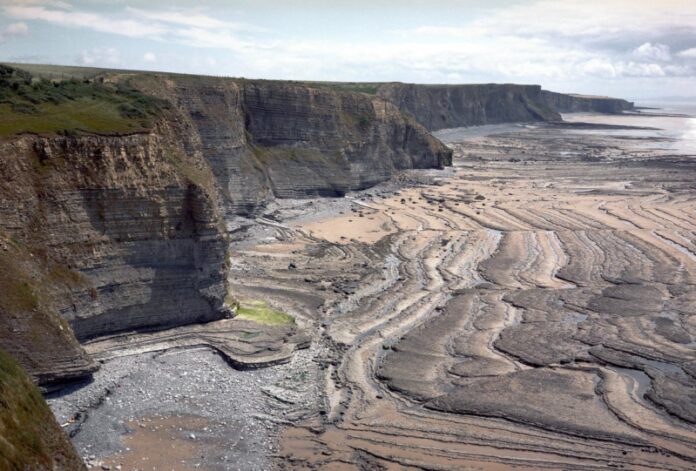
A Geological Survey is a systematic investigation of the Earth’s geology. It is performed to create geological models and maps. This process is crucial in helping scientists better understand the earth’s structure. It can also be helpful in disaster prevention and management. A Geological Survey is conducted to identify areas of concern and to create a map of the area.
Geological maps are based on geological information and illustrate the geological features on a topographic map. The information on these maps is used to interpret the earth’s crust. They are particularly valuable for locating mineral deposits, potential hazards, and energy resources. They are also a basic source of information for engineering applications.
Geological surveys use several techniques to get the information needed for projects. These include conventional visual survey, studying landforms, drilling holes by hand or using a machine, and using remote sensing techniques such as satellite images and aerial photography. They also use geophysical equipment to detect earthquakes. For earthquakes, geophones are placed at strategic locations to help geologists identify earthquakes.
Geological surveys are also used on the coastal geology such as the placement of dredged materials. Another major program is economic geology, which incorporates aspects of the other programs. This includes bedrock quarries, sand and gravel resources, and aquifer use. This type of survey also provides professional services, such as conveying geologic information to other agencies and the public. It also engages in public outreach, such as identifying fossil specimens and rocks.
The USGS is an important source of basic earth science information. The agency provides information to the public and other government organizations, as well as undertakes mapping in foreign countries. Besides providing data for natural resources and disaster preparedness, the USGS also undertakes research and assists governments in disaster response and environmental management. The USGS is one of the most reliable sources of information on Earth’s ecosystems.
The Mineral Deposits Section also conducts research in the field of metallogeny, a branch of geology that seeks to identify the genetic relation between mineral deposits and geological history. This research helps to direct private exploration efforts toward areas with high mineral exploration potential. This research includes both detailed studies of individual deposits as well as regional metallogenic studies of the earth and describes its mineral resources.


