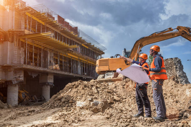
Geotechnical surveys are usually carried out by geologists, geotechnical engineers or geochemists to gain information on the basic physical characteristics of soils, rock strata and sub-surface conditions for various planned constructions and for remediation of damage to earthworks and underground structures caused by natural subsurface events.
Geotechnical drilling techniques may include surface sampling, borehole surveys, and GPS technologies to determine soil quality and other factors affecting it. Geotechnical software and computer programs are also used for these surveys. This article gives some interesting details about the importance of geotechnical surveys in our lives and what they actually do.
For any construction project to succeed it requires detailed information about the site and the kind of building that will be constructed. A geotechnical survey can provide the information that is needed to plan the site, the type of structure to be built, and the boundaries of where the structure, buildings, and land will be located. It can even help design earthwork or bridge designs based on the information obtained from a survey. Without a geotechnical survey, many of these important steps would not be possible.
In order to ensure that the foundation of a building is sound, a geotechnical survey is often the first step to take. An experienced engineer or geotechnical surveyor equipped with the proper equipment can determine if a foundation has problems and can then determine whether to make adjustments or replacement material.
“Geotechnical survey involves testing, sampling and studying the material (soil and/or rock) upon which the proposed building will be constructed. The material is then tested, on site or in a laboratory to establish its strength and ability to sustain the proposed load (building). The report will also give recommendations, with strengths at various levels where foundation can be laid,” says David Adede, Director, Rock Link Geological Consultants Ltd.
Improving the soil quality and soil movement rate can prevent soil cracks and other problems that can cause further deterioration to the foundation. A qualified geotechnical surveying team can also determine if there are any underground sources of groundwater that can affect the site and can design an effective groundwater control plan to protect against future excessive groundwater pressure from above ground sources.
Groundwater and its effects can also have an impact on structures. Testing for the location of underground water mains or wells can be determined by using geotechnical surveys. Many older structures were designed with boreholes in their construction but it is now known that using geotechnical surveying techniques, they can be detected and inspected before they become major issues. Geotechnical drilling or subsidence may be required in some cases when ground waters are found to be contaminated. Geotechnical survey data and studies can also help plan the use of water storage tanks in order to minimize future damages caused by unexpected flooding.
In addition to its important role as a precursor to further archaeological research, a qualified geotechnical surveyor is crucial to developers who are developing a new building. A qualified surveyor will inform builders and architects of the most suitable building design for a structure before it is constructed. It also provides the basis for any required engineering changes once the building is on site. In addition, qualified geotechnical surveyors can also ensure the site has adequate underground protection to prevent natural disasters from occurring.
Geotechnical surveys can also determine if a property is suitable for construction depending on its potential for instability. Most properties that present the possibility of instability need to be evaluated according to their geotechnical data and the relationship between that data and the site’s topography, characteristics and permeability. An example of a property requiring geotechnical investigation is a finite hill that slopes significantly toward the downhill side of the property. An accurate evaluation will provide a valuable service to local developers, contractors, land managers, engineers, and others.
Service and calibration
Geotechnical survey often uses high-tech electronic equipment, which requires specialised service and calibration on a regular base. Preventive maintenance (PM) is the practice of maintaining equipment on a regular schedule based on elapsed time or meter readings. The intent is to “prevent” maintenance problems or failures before they take place by following a routine and comprehensive maintenance procedures with a goal of achieving fewer, shorter, and more predictable outages.
“Maintenance of Geotechnical equipment vary and range widely, depending on the type of the equipment. There are simple mechanical equipment that do not require maintenance at all. Most of the surveys are, however, done by drilling machines or rigs. These machines are fairly easy to maintain by ensuring frequent lubrication of the moving parts and occasional mechanical check up on worn out parts. Grease is the most frequently used substance for this maintenance,” concludes David.


