The benefit of this project is to map flood hazard and to determine flood risk zones for early warning system in state of Khartoum, Sudan as the pilot project In order to use the same method to identify the flood hazard in other states of Sudan, using Geographic Information System gvSIG to reduce the vulnerability of people and public and private property for sustainable economic development.
In mid-July 2020 Floods have ravaged Sudan. Climate changes are responsible for flood occurrence in Sudan which are result of high temperature , precipitation, heavy rain and seasonal variations.
At least 100 people have died and more than 110,000 homes destroyed, residents take refuge in high places, and some families were forced to take shelter and protect themselves in schools and other local building.
The Sudanese government declared a state of emergency for three months and designated the country a natural disaster zone.
GIS is powerful tool for identifying and mapping of potential flood risk zones. To determine flood risk zones for early warning.
Some researchers applied a GIS-based approach to conduct flood hazard mapping with different parameters (i.e. land use, land cover, DEM, soil, river network, and slop).
The Open Source Geographic Information System gvSIG has become a reliable alternative for many users, especially for less development countries like Sudan, where limited budgets projects cannot provide the cost of installing and maintaining the commercial software.
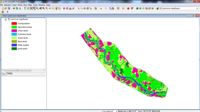
The present pilot project proposes technique of flood sensitivity mapping using Geographic Information system gvSIG and factors as elevation, slope , land use, flow accumulation, surface roughness, topographic wetness index and curvature of the topography were digitized and then contributed in the mapping of flood.


