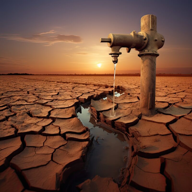
Access to reliable water sources is often a challenge especially in drought-prone regions of Africa. Clean and reliable water sources are essential for the health and well-being of communities across the continent. However, Africa, despite its rich natural water resources, faces significant challenges with water scarcity.
Water resource mapping involves the collection and analysis of data on the location, quantity, quality, and availability of water sources in a given area. This information is vital for understanding the distribution of water resources and developing strategies to address water scarcity challenges. Mapping out water sources, stakeholders can prioritize areas for intervention and allocate resources effectively to improve water access and resilience in drought-prone regions in Africa.
Techniques for Water Resource Mapping
Remote Sensing Technologies for Water Resource Assessment
Remote sensing technologies, such as satellite imagery and LiDAR technology provide valuable insights into the availability and quality of water sources. Satellite technology enables the tracking of changes in water availability, distribution, and quality over time. LiDAR technology, on the other hand, provides high-precision data for mapping water sources in drought-prone regions. Combining the capabilities of satellite technology and LiDAR, a comprehensive understanding of water resources can be assessed and effectively collaborate towards sustainable water management, ensuring water security for all.
Ground-based Surveying Techniques
Valuable on-the-ground data can be obtained through groundwater measurements and field surveys for mapping water resources. These techniques help in assessing groundwater levels, flow rates, and quality, essential for understanding the hydrological dynamics in the region. This information is vital for making informed decisions regarding water resource management and conservation efforts.
Topographical Surveys for Water Resource Characterization
Mapping the terrain and identifying natural features like rivers, lakes, and aquifers, topographical surveys contribute to a comprehensive understanding of the water landscape. These valuable data that can be inputted into Geographic Information Systems (GIS) for a more accurate mapping and modeling of the water resources for effective planning.
Integration of Data for Comprehensive Mapping
Integrating data from various sources is essential for creating comprehensive water resource maps that capture the full picture of water availability and usage. Data fusion, analysis techniques, and visualization tools aid in interpreting mapping results effectively.
Data fusion involves combining information from different sources, such as remote sensing data, ground surveys, and hydrological models, to create a holistic view of water resources. Advanced analysis techniques help in processing large datasets and extracting meaningful insights for water resource mapping.
Visualizing mapping results through interactive maps, charts, and graphs makes complex data more accessible and understandable. Interpreting mapping results effectively, stakeholders can make informed decisions regarding water resource management strategies and adaptation to drought conditions.
Challenges and Considerations in Mapping Water Resources
Africa is no stranger to droughts, with many regions facing recurring water scarcity issues. Understanding the unique challenges posed by drought in Africa is key to developing targeted strategies for mapping and managing water resources effectively.
Issues with Data Availability and Accessibility
One major hurdle of mapping water resources in drought-prone regions in Africa is the limited availability and accessibility of reliable data. This includes factors such as inconsistent monitoring systems, outdated information, and difficulties in data sharing between different stakeholders. Additionally, insufficient funding, and technological constraints pose another obstacle that needs to be addressed to ensure accurate mapping outcomes. Without accurate and up-to-date data, effective water resource management becomes a hard nut to crack. Improving monitoring systems, updating information regularly, and promoting data sharing among stakeholders, can enhance the accuracy and reliability of water resource management efforts.
Environmental and Socioeconomic Factors Influencing Water Resource Mapping
Factors such as climate change, deforestation, population growth, and land use changes can significantly impact the availability and quality of water resources. Understanding and accounting for these complex interactions is key for creating comprehensive and sustainable water resource maps in drought-prone areas. Water resource mapping is a multidisciplinary field that requires collaboration between environmental scientists, hydrologists, geographers, and social scientists. Investing in technology and infrastructure to improve data collection and sharing mechanisms can help overcome these challenges and ensure that water resource mapping efforts are successful in addressing the water scarcity issues in Africa.
Integrating data on environmental and socioeconomic factors, researchers can identify vulnerable areas and prioritize resources for water conservation and management. Additionally, local knowledge and community input is also important for ensuring the sustainability and effectiveness of water resource mapping projects.
Local communities often possess valuable insights into water availability, usage patterns, and conservation practices that can complement scientific data. Bridging the gap between traditional and modern technology, more holistic and culturally sensitive water resource maps can be created.
Emerging Technologies for Enhanced Water Resource Mapping
Water scarcity is a pressing challenge faced by many regions in Africa, especially those prone to drought conditions. As technology continues to evolve, opportunities abound for enhancing water resource mapping efforts in Africa through the adoption of emerging technologies and collaborative strategies. The future of water resource mapping in drought-prone regions of Africa lies in embracing emerging technologies such as artificial intelligence, remote sensing, drone technology, and satellite imagery. These innovative tools can provide real-time data, improved spatial resolution, and enhanced predictive capabilities for mapping water resources. This way we can monitor, manage, and conserve water in vulnerable regions.
As we look towards the future, it is significant to consider the importance of community engagement and capacity building in water resource management. Fostering partnerships between governments, research institutions, NGOs, and local communities, stakeholders can leverage collective expertise, resources, and knowledge to develop comprehensive and sustainable water mapping strategies that benefits all. Empowering local communities with the knowledge and tools to monitor and sustainably use water resources can lead to more effective and sustainable solutions. Additionally, incorporating traditional knowledge and practices alongside modern technologies can provide a comprehensive approach to addressing water scarcity challenges in Africa.
By Dorcas Kang'ereha


