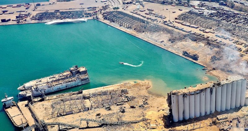
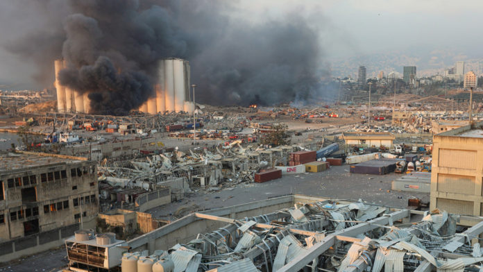
The Regional Center For Mapping of Resources for Development (RCMRD), Kenya has joined in exploring the damage of the Beirut explosion in Lebanon. The explosion which occurred on the 4th of August in Beirut currently has a casualty figure of 200, as reports indicate that this number is bound to increase.
In order to completely understand the extent of the damage, RCMRD, Kenya has used satellite data visualisation to assess the impact of the explosion. The visualisation helps to have a clearer picture of the cause of the explosion, the area of impact and the level of destruction caused by the unfortunate incidence. Preliminary reports have shown that the explosion was as a result of explosive materials which had been kept in a warehouse since 2014.

This initiative by RCMRD has provided a series of satellite images — in conjunction with Digital Globe and Reuters — of the blast. This has also shown that the explosion affected 9,000 residents in 1 km radius of the explosion, and affected 100,000 residents in 1.6 km radius.
The data also provides before and after images of the explosion, which gives a detailed effect of the explosion.


