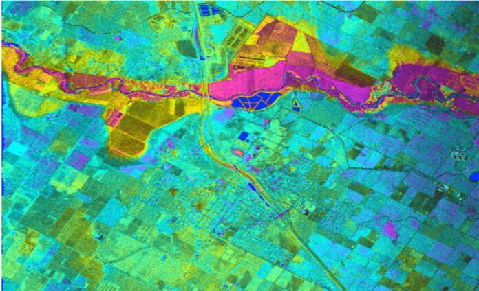
Remote sensing is a field of study that uses technology to collect and analyze massive amounts of data. The field began in the early 20th century, when French artist Louis Daguerre invented the first practical camera – the daguerreotype, which captures images using a silver plated copper sheet treated with iodine vapor. World War I pilots strap camera technology to their biplanes to record conditions behind enemy lines. This development kick started an age of airborne surveillance and satellite-enabled telecommunications.
“Remote sensing specifically in the context of earth observation satellites is central to the mapping technologies used by us and our customers specifically, but also the world in general,” says Jaurez Dorfling, Managing Director, at GEO Data Design (Pty) Ltd.
Today, remote sensing technology has advanced to the point where it can be applied in a variety of applications. For example, INSAR uses a remote sensing technique called interferometry to monitor the climate. Its main application is to provide early warnings of landslides. The normalized difference vegetation index monitors global food supplies. Healthy crops reflect green, unhealthy crops reflect red, and so on. These applications can save up to 10 percent on fertilizer, which is an added bonus.
“A plethora of satellites offering different types of imagery and data are orbiting the earth as we speak, with even more being launched on an ongoing basis. These satellites range from optical, multispectral, superspectral, hyperspectral, SAR, laser and other types that provide constant capturing of data. This data and imagery are geolocated and could therefore be used to map every corner of the earth and sky,” comments Jaurez.
Researchers use high-powered sensors to measure the surface of the Earth. They can use this data to determine the characteristics of a landscape. Light in the visible spectrum is the most common metric used in remote sensing. Infrared light and ultraviolet radiation are also valuable for specialty applications. Some sensors are equipped to document both. Aerial photography and photogrammetry are the main visual documentation systems in remote sensing. They are essential for the study of land and water resources.
“Africa has many remote and difficult to reach areas. Mapping these areas and gathering intelligence can be challenging and expensive. Earth observation satellites can significantly reduce these challenges of collecting this information to enable effective and timely decisions,” articulates Jaurez.
He further elaborates that; “With the increase in both population and a need for resources, the need for efficient agricultural management has become critical. Using satellite imagery, we can effectively monitor, manage and mitigate challenges such as water scarcity, crop disease and climate change while increasing productivity. The imagery collected by earth observation satellites on an ongoing basis allows for the rapid updating and time series analyses to identify, locate and quantify significant changes in an area, a country, a region, a continent or the planet as a whole.”
The technology used in remote sensing is highly versatile. The information collected by these sensors can be used to determine the type of vegetation in a given area. In some countries, tax revenue agencies use remote sensing satellite data to detect signs of wealth. For instance, a certain government discovered fifteen thousand swimming pools were left unclaimed in 2013 because they were used to avoid paying taxes. The data can also be used to track crop insurance fraud. The method can be applied in many other contexts.
Various types of satellites can be used to collect data. The technology can help identify the origin of vegetation, and can detect the presence of plants. A large number of sensors can be used to determine the composition of a region. A spectrometer can also measure the color of a specific region. The data collected by the satellite can also indicate the temperature of a specific object. This means that the sensor is a good choice to monitor the temperature of an area.
One of the most important uses for remote sensing is mapping. The technology is used in agricultural and environmental monitoring. “As the earth, climate and the impact of humans on the environment (and vice versa) constantly change, so too do our maps need to change in tandem. Without these satellites and remote sensing technques, today’s mapping technologies would be incapable of delivering the vital contribution to managing our planet better to the benefit of all,” concludes Jaurez.
Undoubtedly, Remote Sensing is a powerful tool for mapping. It can provide accurate data about rural road conditions. It can also be used for everyday purposes like mapping. With this technology, the data is collected and analyzed without obstructive methods, such as the use of satellites. It provides a global perspective and actionable insights into an area.


